

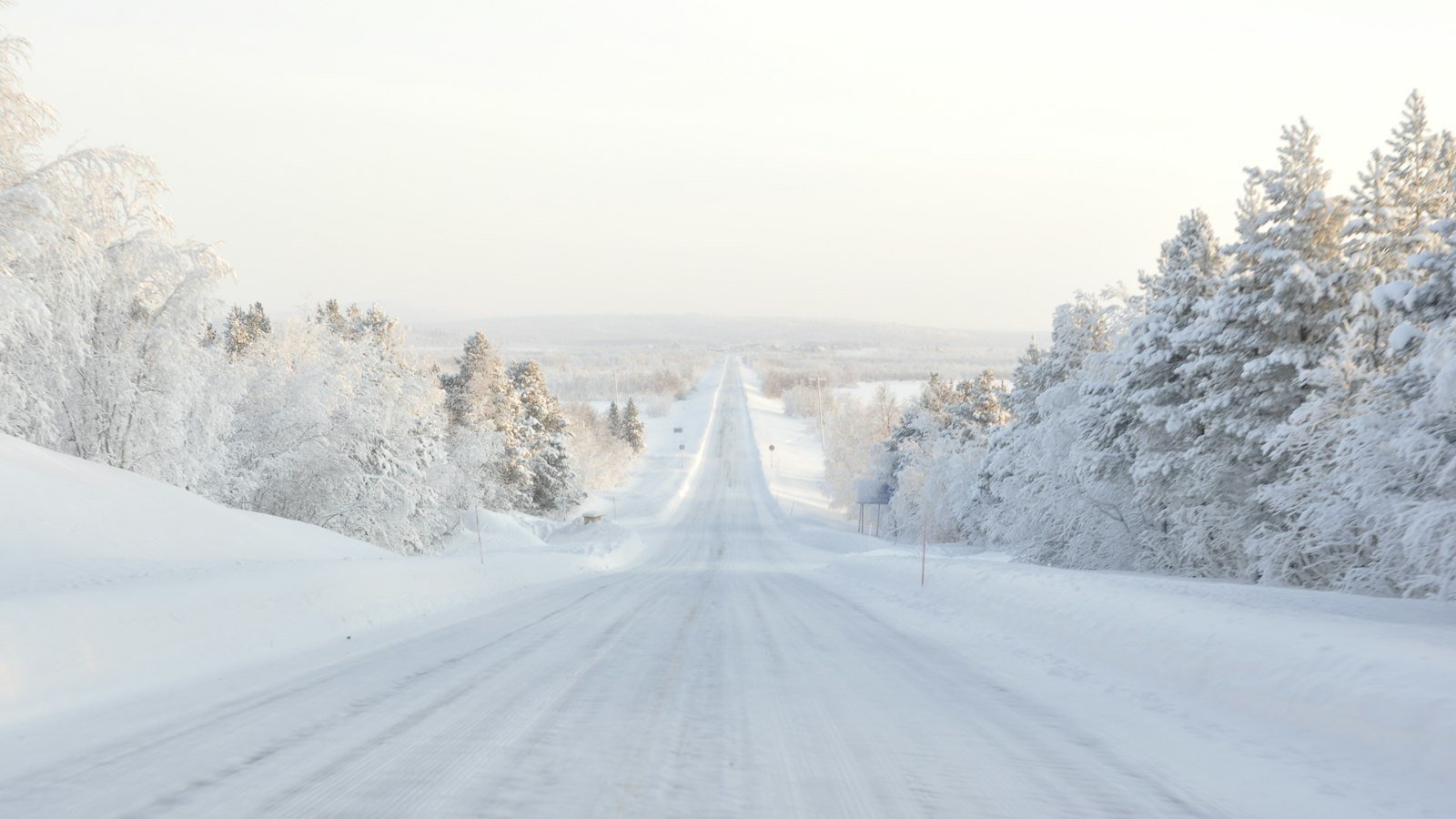
Forecasters expect a strong El Niño to shape the 2026-27 winter, with milder-than-normal temperatures favored across much of the northern and eastern U.S. and wetter conditions across the southern tier.
A strong El Niño is expected to shape the United States winter of 2026-27, and seasonal outlooks released this fall favor milder-than-normal temperatures across much of the northern tier and parts of the East, with wetter conditions across the southern part of the country. Forecasters stress that such outlooks describe three-month averages and probabilities, not individual storms or snowfall totals.
What the outlook says
NOAA’s Climate Prediction Center issued its updated winter outlook on September 17, covering December 2026 through February 2027, according to reporting on the release. The outlook leans on the developing El Niño, a periodic warming of surface waters in the tropical Pacific Ocean that influences weather patterns worldwide.
Reports on the outlook describe a high likelihood of a strong or very strong event through midwinter. One account put the odds of a very strong event above 90 percent, while another outlet reported an 80 percent chance for the December-to-February period. The differing figures reflect different publication dates and wording, and readers are advised to consult the Climate Prediction Center’s current ENSO discussion for the latest probabilities.
Temperature and precipitation patterns
Under the outlook, above-normal temperatures are favored across much of the West, the northern tier and parts of the East. Coverage of the forecast singled out Oregon, Washington, Idaho, Montana and the Upper Midwest as likely to run warmer than average. The Southern Rockies were described as having roughly equal chances of a warmer or cooler season.
On precipitation, wetter-than-normal conditions are favored across the southern tier, including California, Arizona and New Mexico, with a strong signal reported for the Southeast and up the East Coast. The pattern is consistent with the typical storm track during El Niño winters, in which the subtropical jet stream is strengthened and carries moisture across the southern states. A drier signal was reported for parts of the northern Rockies and the Great Lakes.
What El Niño usually means
El Niño winters often bring milder conditions to the northern United States and more frequent storms to California and the Gulf Coast. Meteorologists note, however, that El Niño is only one influence. Short-lived patterns such as shifts in the Arctic jet stream can produce cold outbreaks or heavy snow even in a season that averages mild. A seasonal outlook cannot predict when those events will occur.
- A warmer-than-average winter does not rule out significant snowstorms or cold snaps.
- Wetter-than-normal southern regions face a higher chance of heavy rain, flooding and, in coastal California, mudslides on burn-scarred terrain.
- Outlooks assign probabilities to broad regions and do not give local forecasts.
Implications for households and travel
A milder northern winter could reduce heating demand in some areas, though energy costs also depend on fuel prices, supply and local rates. Households in regions favored for wetter weather may want to review flood preparedness, including whether homeowners and renters policies cover water damage. Standard homeowners insurance generally excludes flooding, which typically requires a separate policy.
Travelers face a different set of questions. Wet conditions in the South and along the coasts can lead to flight delays and road hazards, while winter storms in the Northeast and Midwest, when they occur, can disrupt air and highway travel on short notice. Officials commonly advise checking forecasts from the National Weather Service in the days before a trip rather than relying on seasonal outlooks.
Caution on long-range forecasts
Some weather outlets that covered the release cautioned that long-range forecasts have limited accuracy, particularly at the level of individual states or cities, and that short-term forecasts are better suited to planning. The Climate Prediction Center updates its outlook monthly, and the next update is expected in the weeks ahead.
For now, the broad message from forecasters is that the season is likely to be shaped by a strong El Niño, with a tilt toward warmth in the north and moisture in the south. Individual storms, however, will remain unpredictable until days before they arrive.
Preparing now
Emergency management agencies recommend that households use the autumn months to prepare regardless of the seasonal outlook. Typical steps include servicing heating systems, clearing gutters and drains, stocking an emergency kit with water, food, medications and batteries, and making sure a plan exists for power outages. Drivers in snow-prone areas are advised to check tires, wiper blades and fluids, and to keep a blanket and flashlight in the vehicle.
Local utilities and emergency offices often publish winter readiness guidance and outage-reporting instructions on their websites. Residents in flood-prone areas can check local flood maps and sign up for emergency alerts from their county or city.
Sources: NOAA Climate Prediction Center outlook as reported by Unofficial Networks and OpenSnow.